ISO 9001:2015
Call Us
9128739044
Email Us
mitgjh@gmail.com
Rajchi Jharkand
Micro ITG Geomatics Consultancy
Micro ITG Geomatics Consultancy
We specialize in delivering cutting-edge digital solutions tailored to meet the needs of modern businesses. Our expertise spans across Drone Survey, mapping , Satellite Image Processing ,Web Solutions, Custom Software Development, Mobile Application Creation, and Web GIS Solutions.
About

Micro ITG Geomatics Consultancy , We specialize in delivering cutting-edge Stone Minig Report, Environmental Services, tailored to meet the needs of modern businesses. Our expertise spans across Drone Survey, mapping , Satellite Image Processing ,Web Solutions, Custom Software Development, Mobile Application Creation, and Web GIS Solutions. With a strong focus on Data Science, Machine Learning, and AI, we empower organizations to harness the power of data and technology. Our mission is to provide innovative, scalable, and efficient solutions that drive business success and help our clients stay ahead in a rapidly evolving digital landscape.
Why Micro ITG?
The Company is in its very nascent state though the expertise of its team members is well enough to cater various types of User needs in various domains. The zeal to perform ahead of time is what makes the Company different from its peers. We believe in commitment and thus committed towards performing and excelling the customer’s expectation. We go some extra miles to keep the delivery and performance on track.
Our Services

Drone Photogrammetry Survey
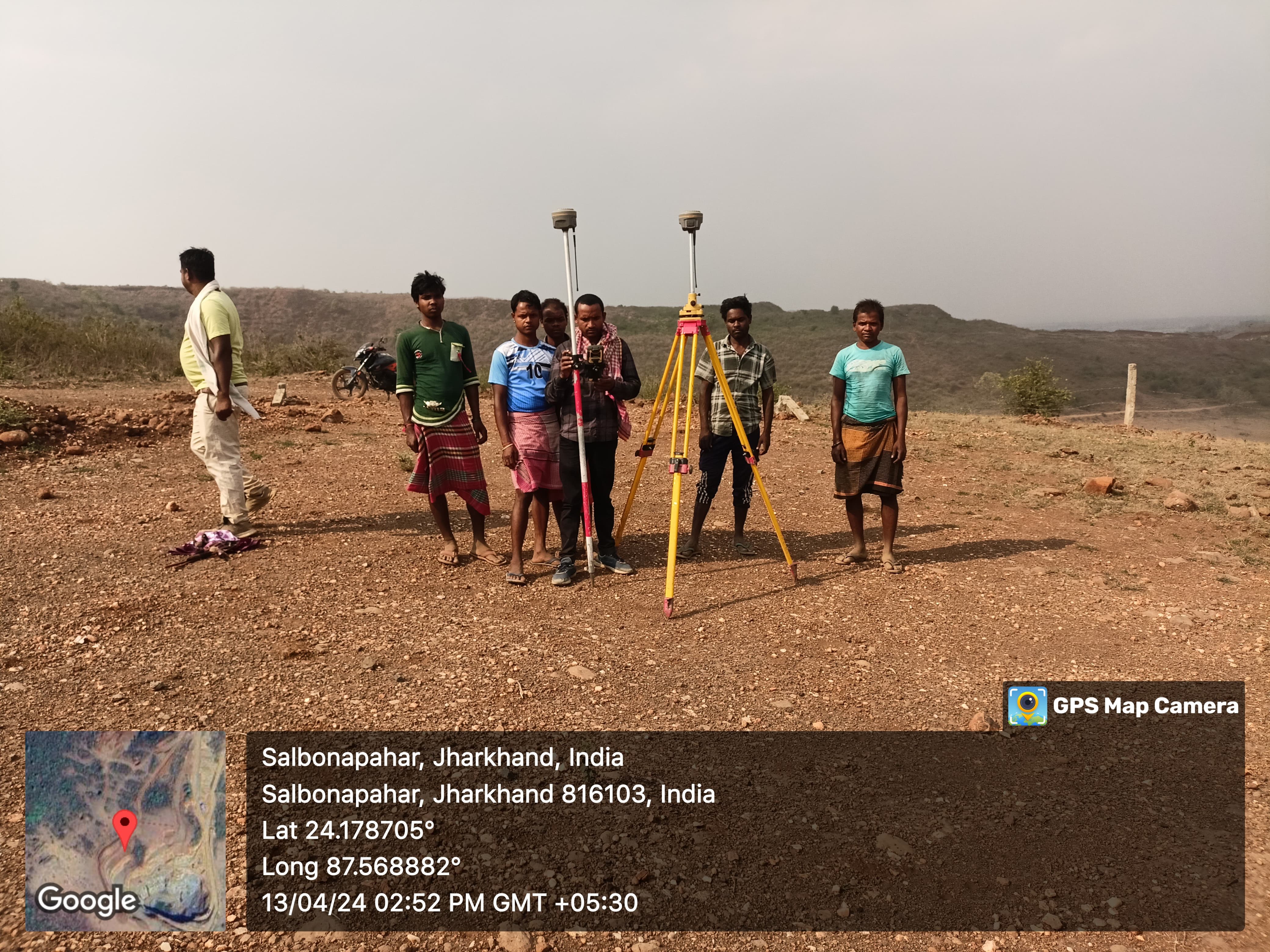
Topographic Survey
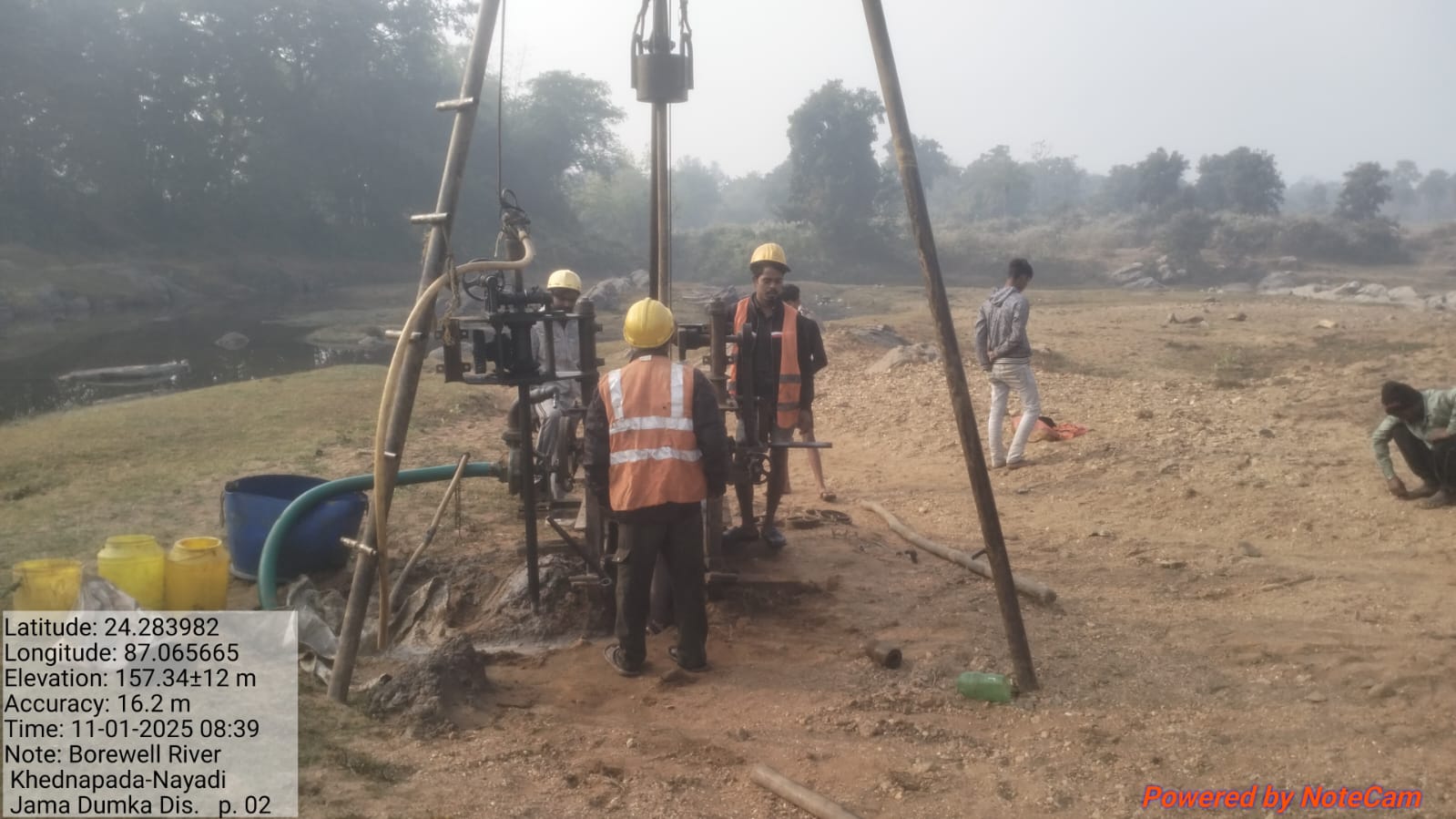
Ground water survey and Soil Investigation

Geophysical Electrical Survey data for DSR Water level
6449
Views
42
Projects
13
Clients
Our Team
We're justifiably proud of the team we've assembled. Initially numbering just two programmers, Micro ITG Geomatics Consultancy, Ranchi Jharkhand has grown steadily and now has over 50 staff members. The Micro ITG team is made up of highly-qualified, industry experience, talented and innovative Drone Technology , IT and GIS/ Image processing professionals each with their own area of expertise last 20 years all over the India. T heir experience spans the full range of customization software development and maintenance of ERP, Drone Survey, GIS Mapping, DGPS Survey, Forest Mapping, and OFC route planning and cable Construction and from small entrepreneurial projects to complex systems for major corporations.

Our Clients