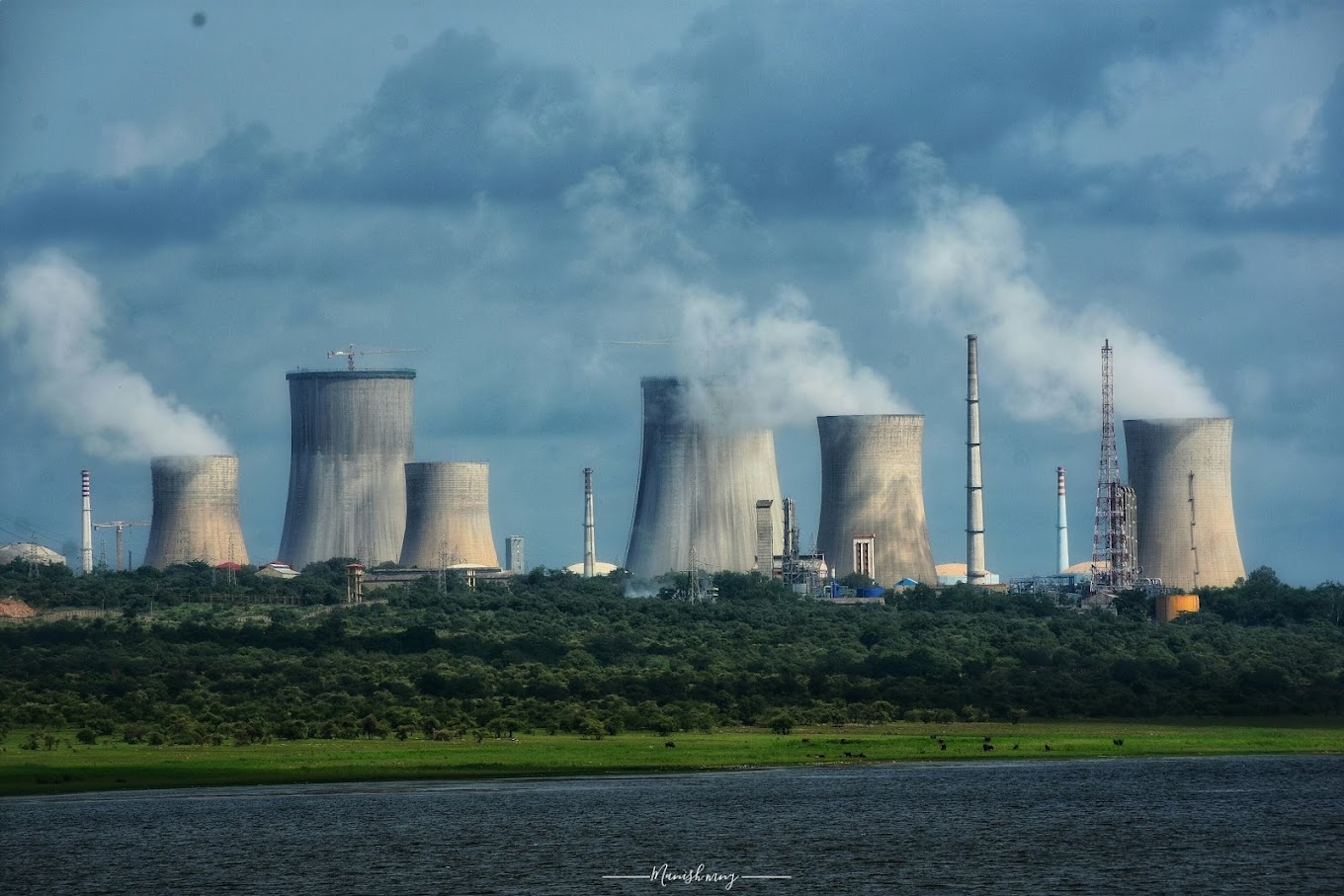
Micro ITG Enterprices , Ranchi , Jharkhand successfully completed based on Satellite Image Processing and GIS Map Preparation for EIA/EMP study for “Additional Away From Reactor (AAFR) Spent Fuel facility” for M/s NPCIL, Rawatbhata Nuclear Power Plant, Rajasthan November 2020.Client: MECON Limited, Ranchi
II. Micro ITG Enterprices successfully completed based on Satellite Image Processing for Land Use / Land Cover Studies for 2 MTPA Pellet Plant at RINL, Visakhapatnam,Andhra Prades for MECON Limited, Banglore.
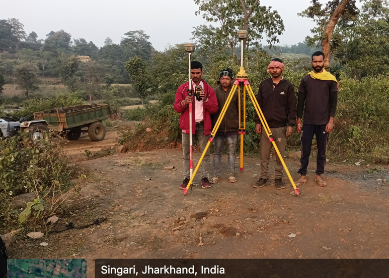
DGPS SURVEY REPORT OF FOREST DIVERSION LAND OF M/S: STARK RIDGE PAPER PVT. LTD.
UNDER FOREST DIVISION, JAMSHEDPUR DISTRICT: PURBI SINGHBHUM, JHARKHAND.
To carry out a detailed DGPS based OFC Route Survey & Infrastructure Survey to connect Blocks to Gram Panchyats/ Village Councils & En-
route locations in Jamnagar & Porbandar districts of Gujarat through OFC cable as detailed in the Scope of work and special conditions of the Tender document. For NOFN Project.
Micro ITG Geomatics provide salution for stone mining plan and DGPS Survey and EC.
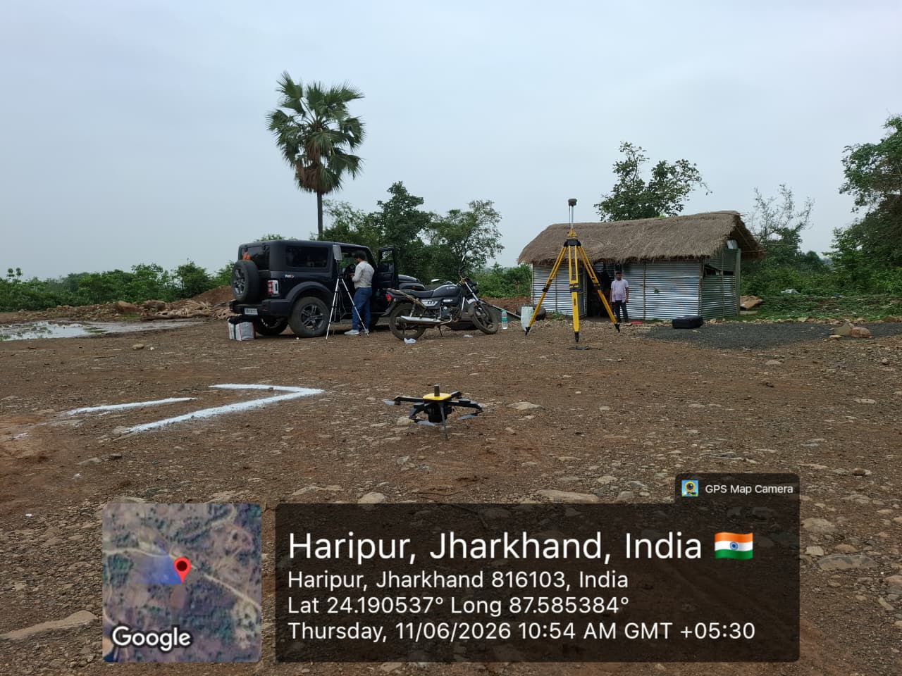
Drone Survey for Coal Block of Hazaribagh, Jharkhand. In this survey need to prepared Ortho Mosaic Imagery, Digital Surface Model (DSM), and Digital Terrain Model (DTM) with WGS 84 / UTM Zone 45N. After processing the data create contour mtr interval. Ground Control Point (GCP) CSV file (Label, X/Easting, Y/Northing, Z/Elevation) to lock in absolute accuracy.